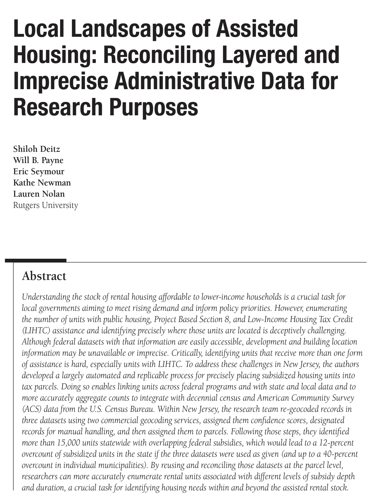
Local Landscapes of Assisted Housing: Reconciling Layered and Imprecise Administrative Data for Research Purposes
This article examines the difficulty enumerating the number of federally subsidized housing units and provides a method of reconciling data sets at the parcel level to identify housing needs and rental stock.
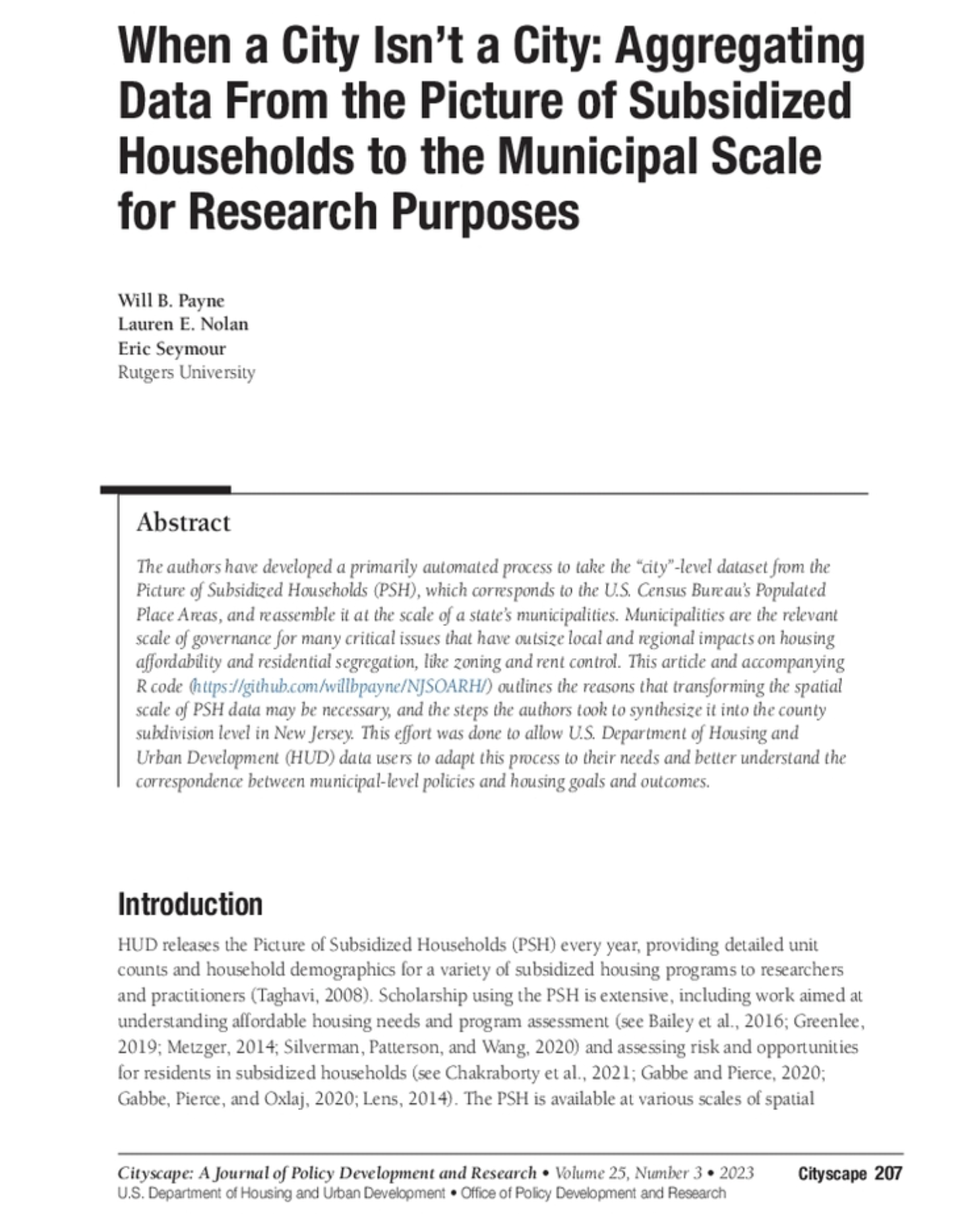
When a City Isn’t a City: Aggregating Data from the Picture of Subsidized Households to the Municipal Scale for Research Purposes
In this article, the authors developed a primarily automated process to take the “city”-level dataset from the Picture of Subsidized Households (PSH), which corresponds to the U.S. Census Bureau’s Populated Place Areas, and reassemble it at the scale of a state’s municipalities.

